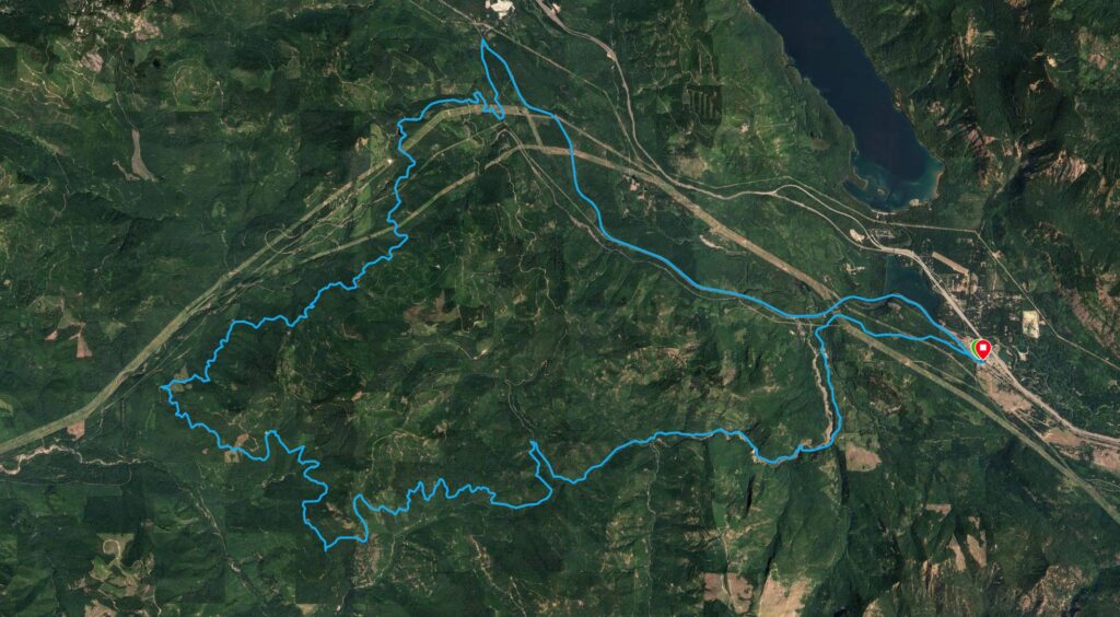
Gravel Route
The Easton Toe Dipper Gravel Ride
| Distance | 46.8 mi |
| Recorded Speed | 10.2 mph |
| Recorded Time | 4 hours 35 mins |
| Recorded Elevation Gain | 4511 ft |
| Pete’s Difficulty Rating | 2/5 |
| Pete’s Stoke Score | 3/5 |
Overview & Highlights
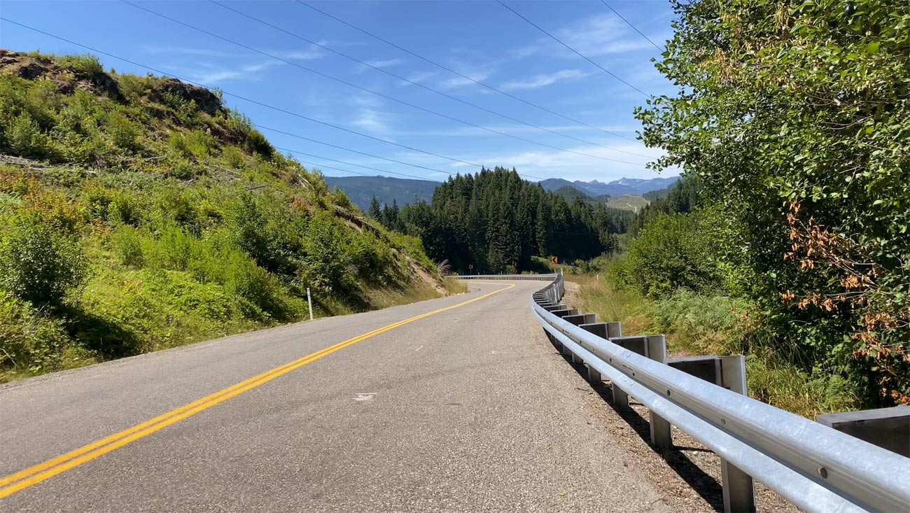
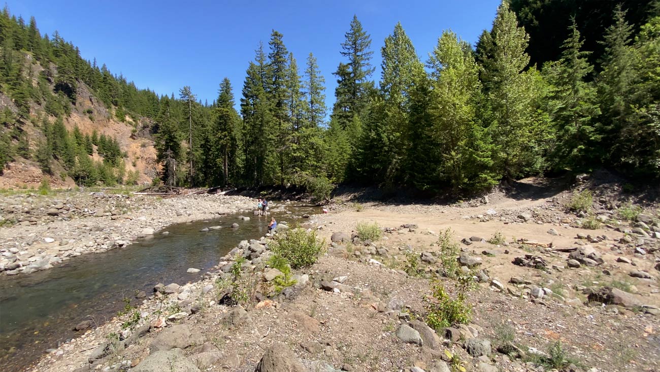
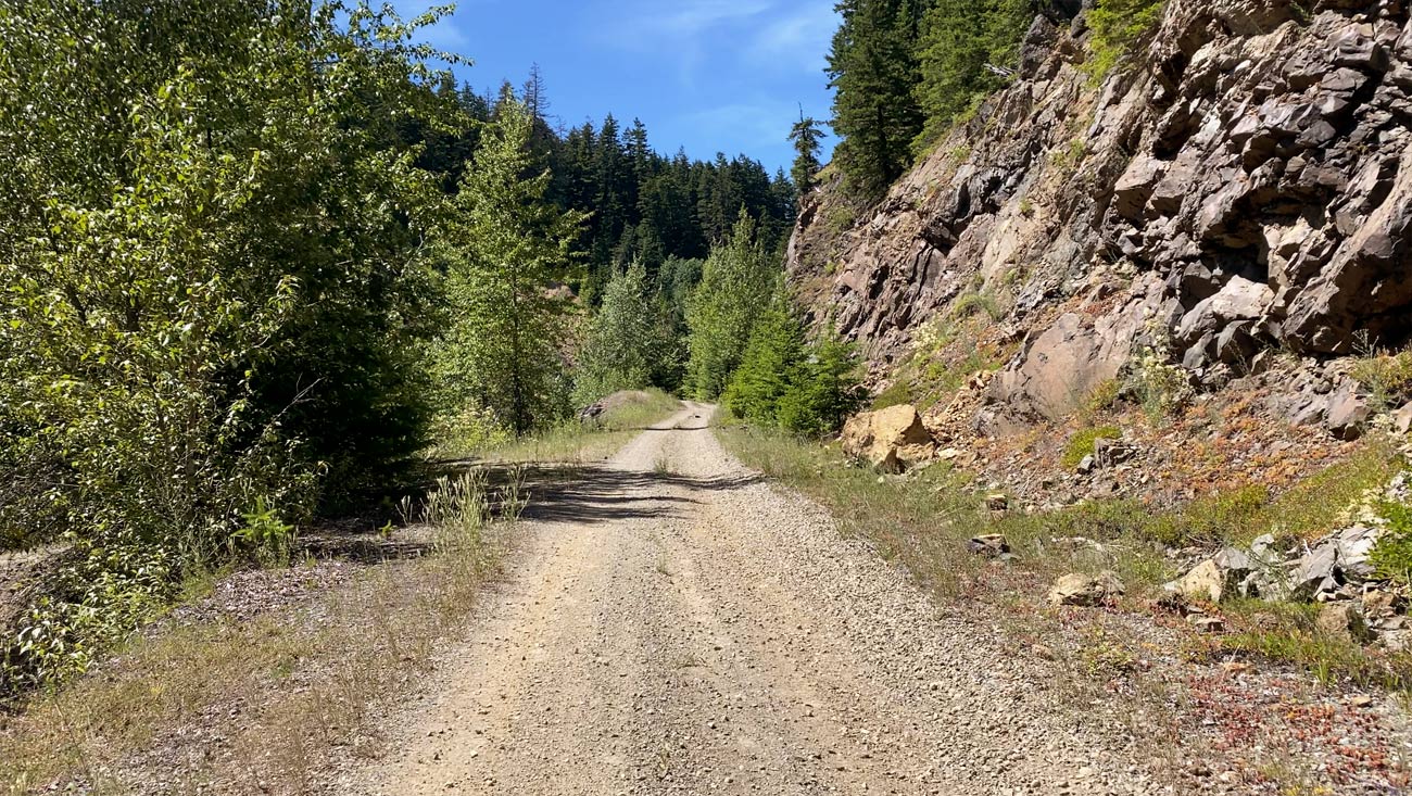
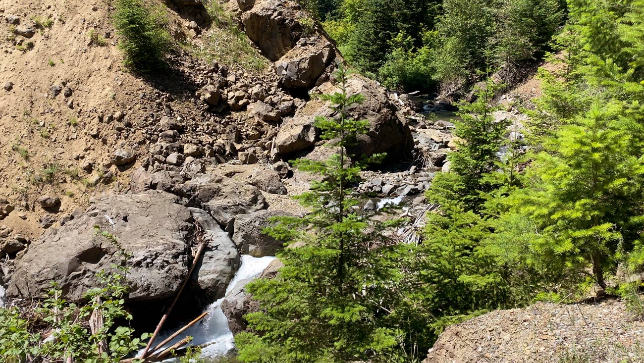
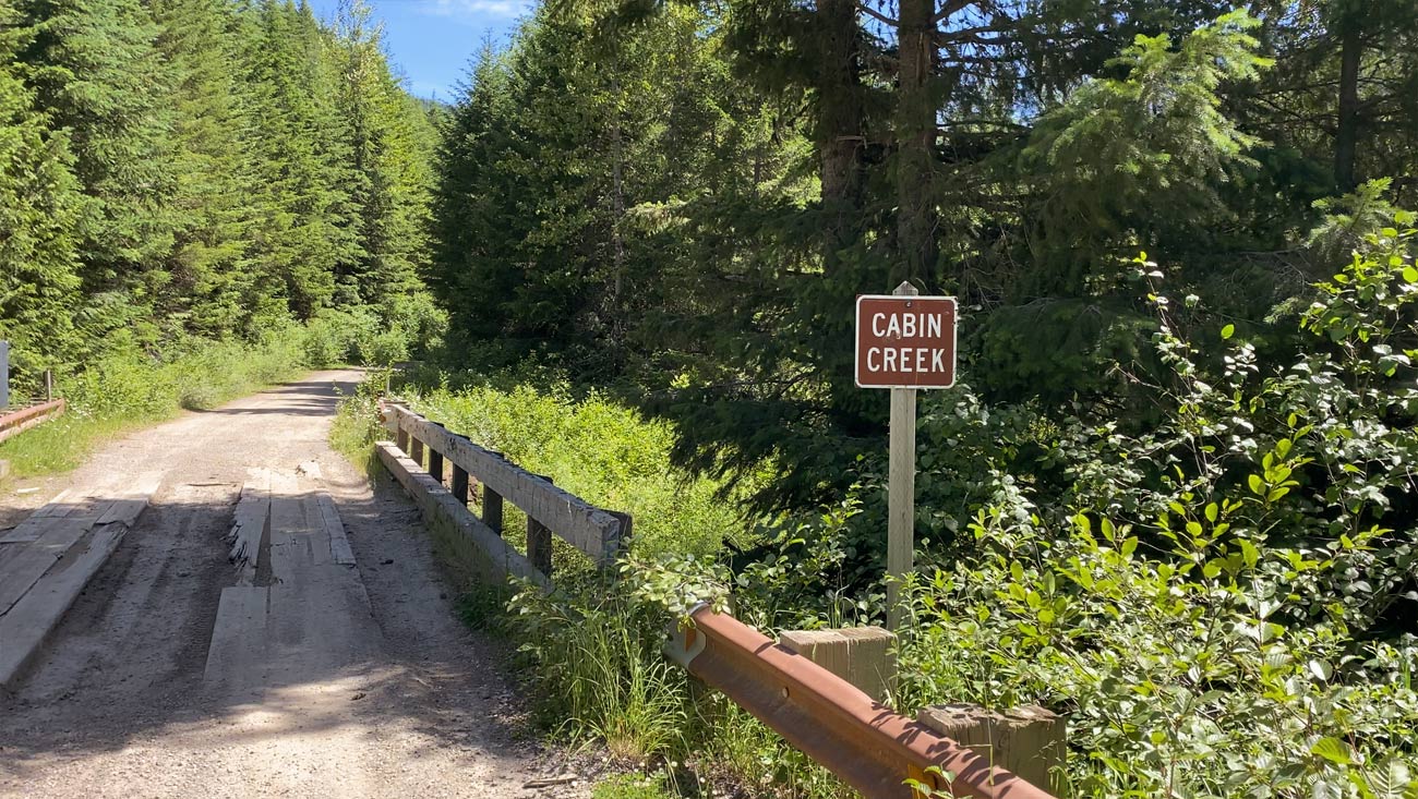
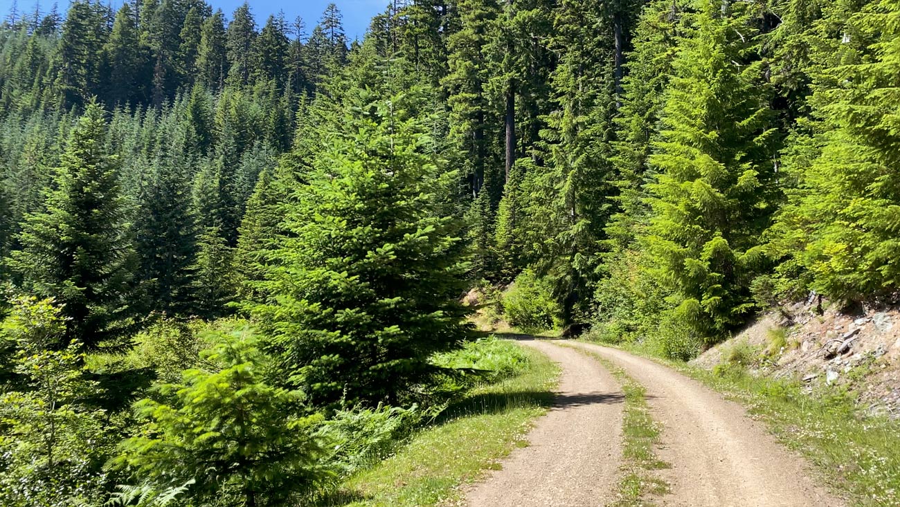
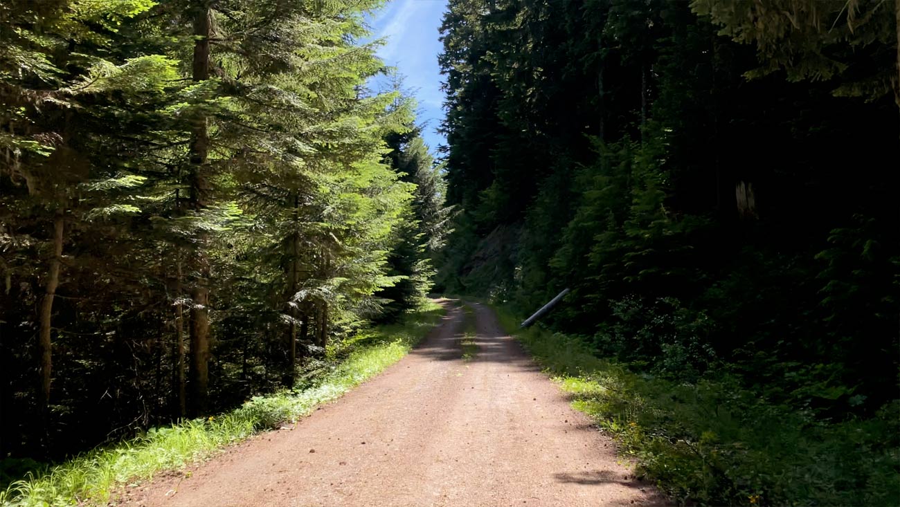
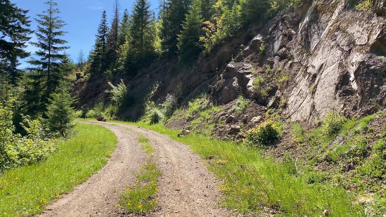
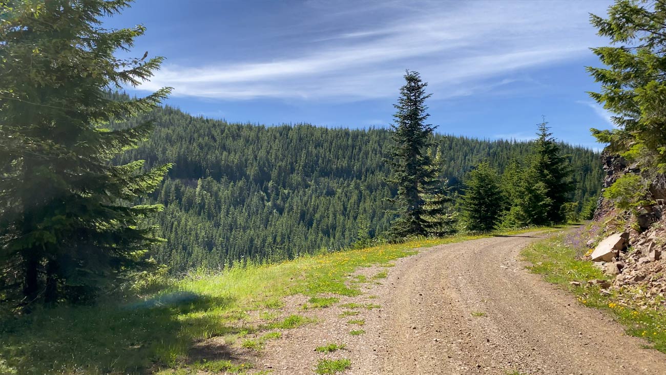
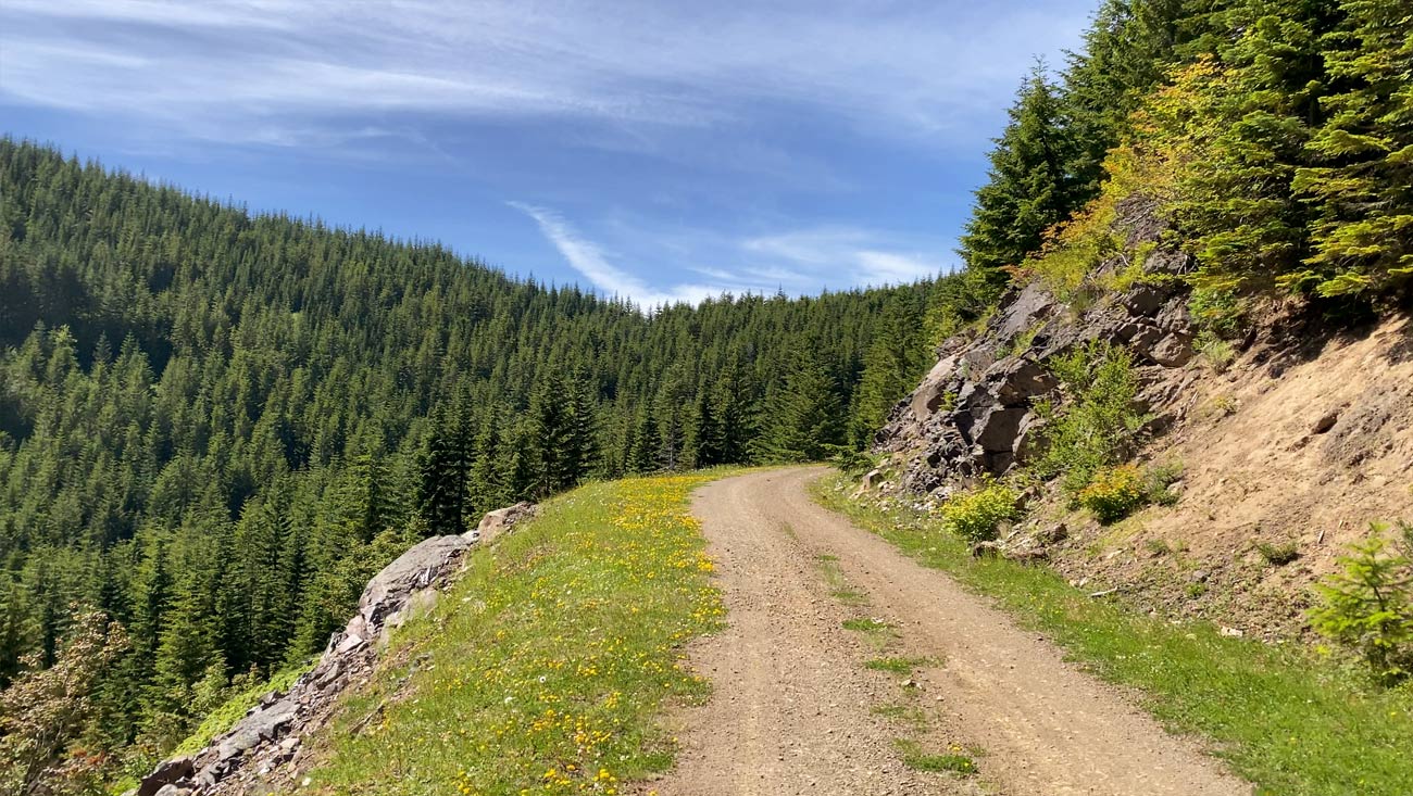
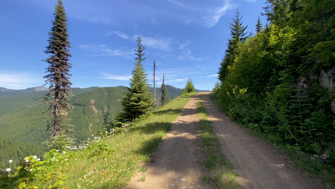
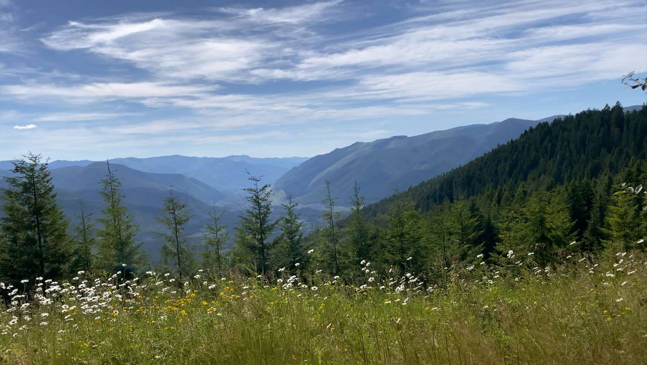
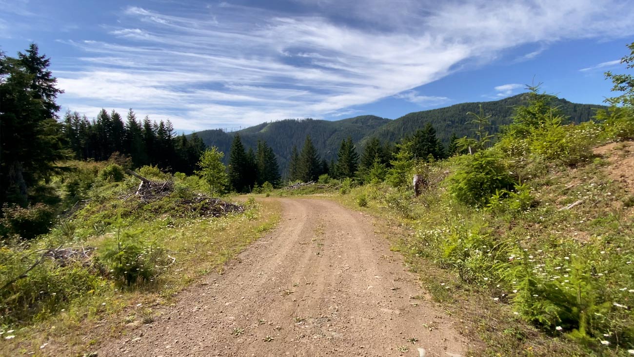
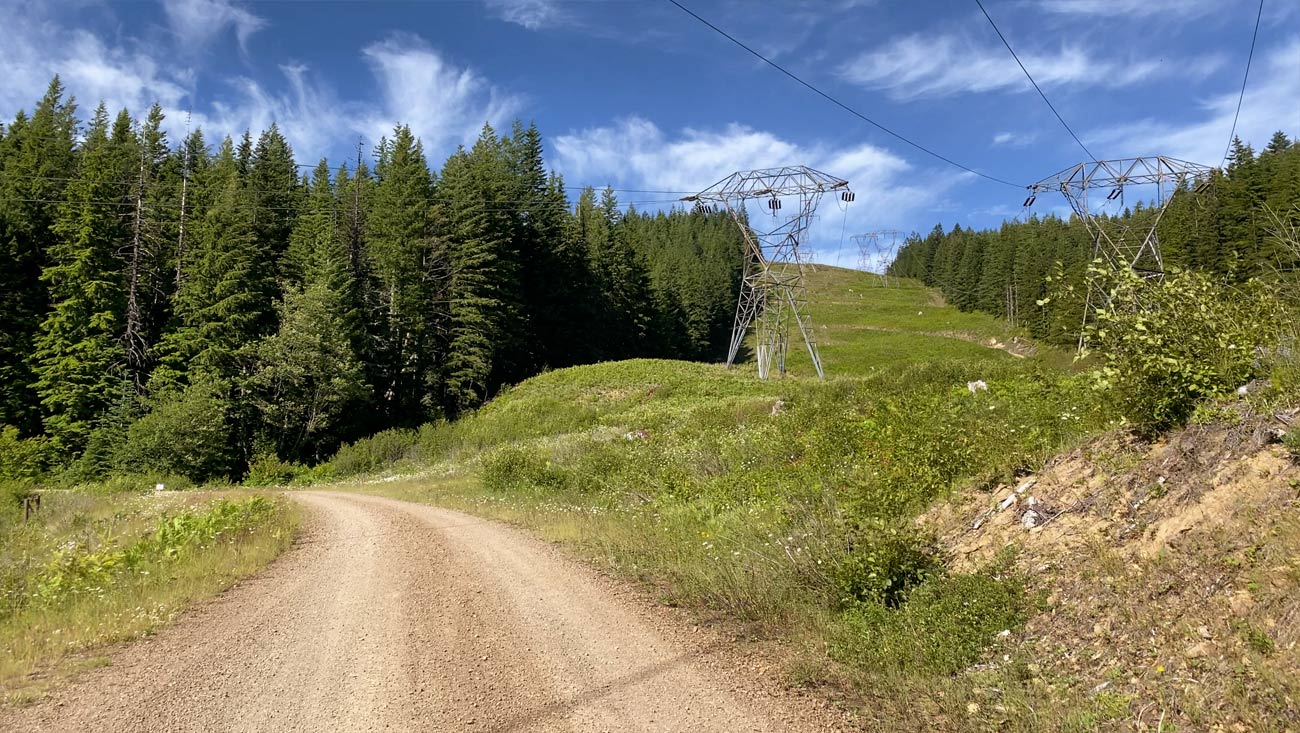
Extra green scenery, some cool lookouts and big columns of trees lining the winding roads aimed into the central Cascade mountains is the essence of this ride. That, highlighted by smooth roads and not too much elevation makes this ride a true pleaser. The ride starts off on some pavement that turns to gravel. Not too long into the ride you’ll need to cross a little stream, there wasn’t a path to walk across, so your feet will need to get wet. After the stream, the road has some landslide damage, making parts of the road narrow and steep. It is easy to get through, but I needed to walk my bike on some steep parts. After that, a lot of nice, rich foresty scenes. Eventually getting to some big lookouts and views mid-way in the ride. Plenty of cool winding forest roads and eventually leading you back to the Iron Horse Trail, which is about a -1% grad the remainder of the ride, making the last long stretch go by quickly and pretty enjoyable. A recommended ride!
Notes & Hazards
This ride is all pretty easy. Just prepare to get your feet wet crossing the stream. Nearly all the roads on this course are very smooth, well maintained and fast, with exception to the small part after the creek crossing. There are good two water sources. One at 9.6 mi and one at 30 mi. There are some really small streams in the middle of the ride also. I did a little extra climb on this course that added a little elevation and distance from the Garmin course.
Ride Photos
Posted on: August 12, 2020
Comments
Just wanted to say “thank you” for the effort you put into this and making it available for everyone to see and use. I’m looking forward to trying this and some of your other routes as the weather improves.